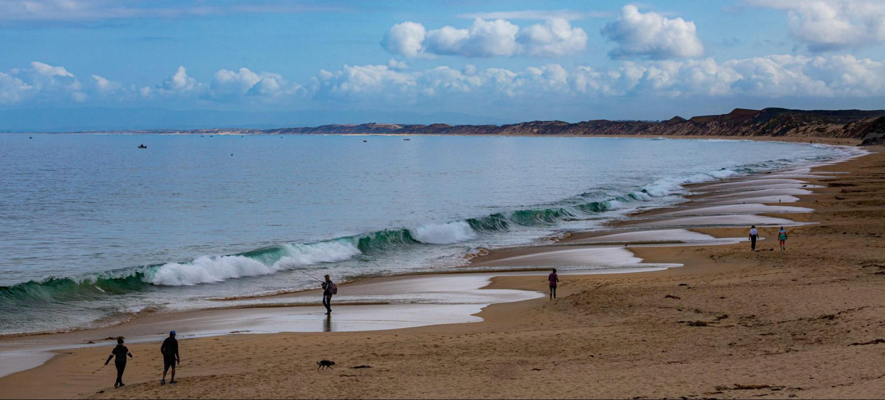
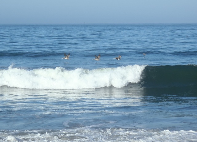
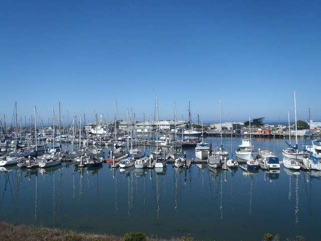
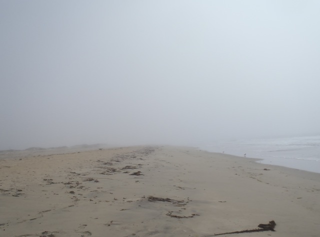
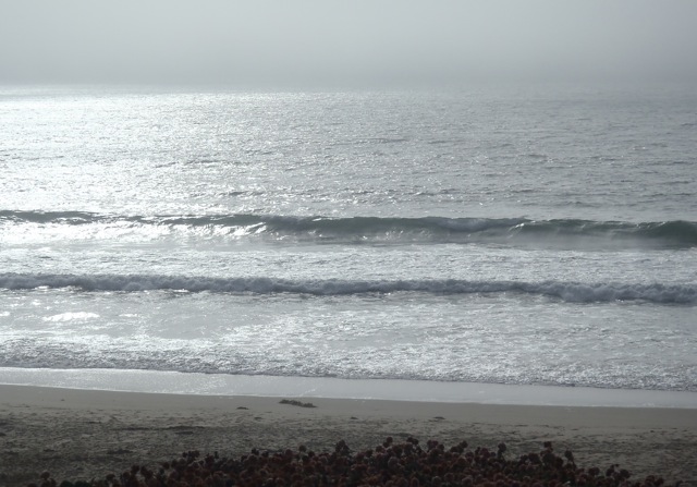
WordCraft.NatureFocus

Bay-to-Beach Life Blog

Delights at a regional park

Great blue heron

Great blue heron

I love walking the shoreline and taking in what the ocean has to offer each day, but sometimes I find delights elsewhere. Not far from the coast near me is Laguna Grande. It’s a 34.8-acre (14-ha) park with a 12-acre (5-ha) “lake” (most would consider it a pond) established in 1950, and defines part of the Monterey-Seaside boundary. I’m guessing that at one time it was a tidal estuary connecting to Roberts Lake (just across the street) and the ocean about a half mile (.8 km) away, but the building of Highway 1 cut off that flow. It’s now a mostly freshwater laguna.

Pied-billed grebe

Pied-billed grebe

The area around Laguna Grande is an unassuming urban neighborhood park that offers a walking trail, playground, picnic areas and summer concerts. It’s also a local birding hotspot. Here are some delightful residents and migrants observed on a foggy day this past week with my Wednesday birding group (thanks!).

American coot

American coot


Pied-billed grebes are residents, as are great blue herons and American coots.

Clay-colored sparrow

Clay-colored sparrow


Clay-colored and Brewer’s sparrows are visiting and may stay for the winter. Look at the collar to help tell them apart.

Brewer's sparrow

Brewer’s sparrow

White-crowned sparrow

White-crowned sparrow


The white-crowned sparrow is a resident.

Townsend's warbler

Townsend’s warbler


The lovely Townsend’s warbler is a winter visitor and hopefully will stay for a while.

Young red-shouldered hawk

Young red-shouldered hawk


All of us were watched over by a young and handsome (or lovely since you can’t tell the gender) red-shouldered hawk.


There’s evidence that people are more likely to support exotic wildlife and parks across the globe than those nearby. These delights show that we’re all connected (so many migrants all year) and that we should  value and protect what’s in our own backyards.

New camera, better shorebirds

Juvenile black-bellied plover

Juvenile black-bellied plover

For my blog photos I’ve been using an Olympus Tough. I love the rugged little waterproof camera for kayaking and long beach walks, but for birding, I was wanting something more. I just picked up a new camera — a Canon EOS Rebel T3 with a 70 – 300 mm lens. Here’s the best of a week’s worth of playing along the shore (3 good ones out of 100+).

This lovely black-bellied plover (Pluvialis squatarola) was with a larger group on the rocks at Asilomar State Beach, one of my favorite spots for walking and birding. It’s a new bird species for me! (Thanks to local birding expert Brian Weed for confirming the ID.) Our rocky shores are a migratory stop (the birds travel at night) from Arctic tundra breeding grounds to warmer wintering grounds. Individuals away from the group are usually seeking food. Although black-bellied plovers are protected by the Migratory Bird Act (and other treaties) and populations appear to be healthy, their reliance on Arctic tundra means that they’re vulnerable to climate changes.

Willets

Willets

At the base of the rocks hosting the plovers were willets (Catoptrophorus semipalmatus). Willets are mid-sized, mostly nondescript shorebirds, that is until they fly. The wings have a striking black and white pattern. I usually see willets alone, but when they migrate they flock to feeding grounds. And there was a large flock on the rocks. Many of these birds will stay here for the winter (I get more practice photographing them); some will fly as far as South America. In spring, they’ll migrate north and inland to prairie marshes of the Great Plains.

Surfbird

Surfbird

My other successful shot was of a surfbird (Aphriza virgata). These small birds are fairly common here (I see them on nearly every rocky shore walk) even though they’re migratory. If you look closely at the rocks near the water’s edge and wait patiently, you’ll find surfbirds along with the black turnstones they hang out with. The surfbirds’ yellow legs make them easy to distinguish from the black turnstones. There’s some conservation concern about surfbirds (which I didn’t realize till I wrote this). They’re livelihood is closely tied to rocky shores and so oil spills are a serious threat. In addition,  human development along our coast impacts their ability to feed and rest undisturbed. We both like the same places.

I’m really enjoying the new camera. It allows me to get close to these visitors without disturbing them and collect some of their essence without taking anything but pictures.

~~~~~~~~~~~~~~
References

SIMoN Species Database: Black-bellied plover
SIMoN Species Database: Surfbird
SIMoN Species Database: Willet

Monterey Bay Walk #3

Marina State Beach by CM Parsons

Marina State Beach

Yesterday I completed the final 10-mile (16-km) leg of my Monterey Bay trek with Sandy Lydon and company. (Last year I walked this same stretch on my final day with Slow Adventure.) These are home beaches for me since they’re so close to where I live. This morning was clear, bright and mild when we started. I figured the day’s walk would be fairly easy (I say fairly because the sand here is loose and can be tiring), but I was relaxed and ready.

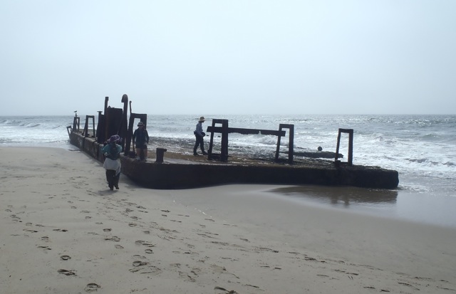
The parking lot above Marina State Beach, where we all met, was very busy. Locals were gathering to pick up trash! Saturday was California’s annual Coastal CleanUp Day and at that hour hundreds of people (mostly young people) were readying to walk Monterey Bay beaches with buckets and trash bags to clean up. On the one hand, it’s very encouraging; on the other, it’s so sad that we have to schedule events to pick up after people who carelessly use our beaches. I carried a small bag on the walk to do what I could, especially at less accessible spots like the beach along Fort Ord Dunes State Park. It was nice not to be a lone trash picker today.

Marina Waves by CM Parsons

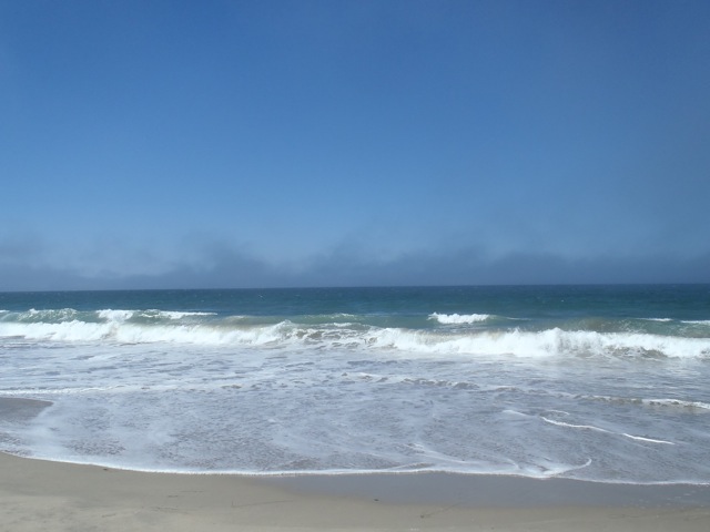
As we walked down to the beach, we were greeted by fairly large waves (6 to 8 feet/1.8 to 2.4 m) — larger than usual for this time of year. And, just beyond were feeding humpback whales, dolphins and seabirds (sorry, no pictures). Exciting sendoff.

Gulls - Marina State Beach by CM Parsons

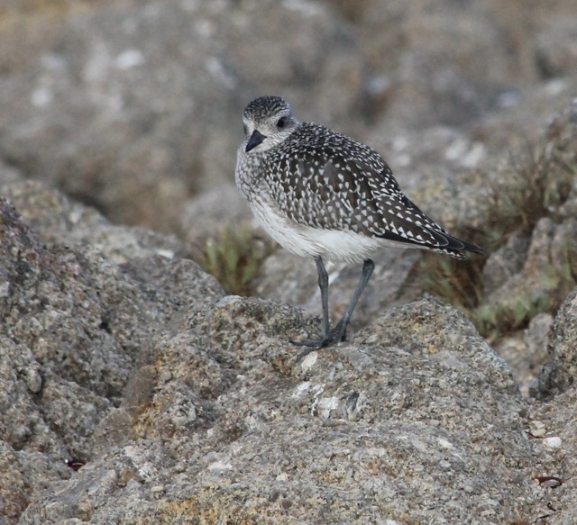
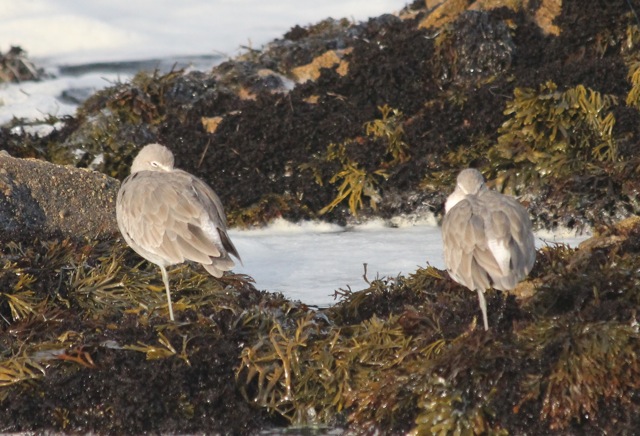
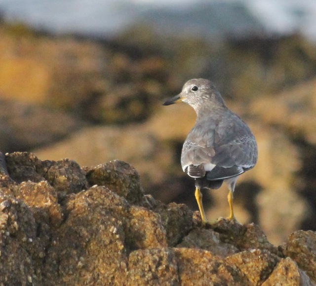
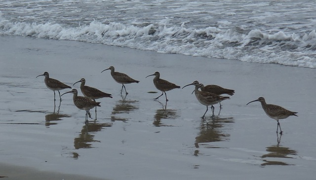
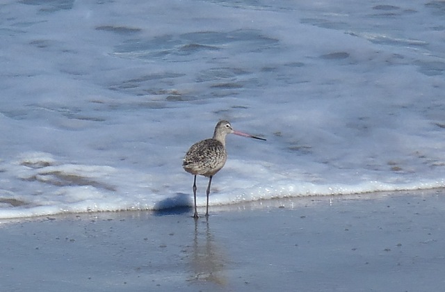
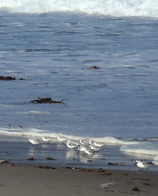
Because these beaches aren’t visited by people much, there are often large flocks of gulls (maybe hundreds) of mixed species and ages on the sand. I was able to identify Heermann’s and western gulls. There may have been others. Unfortunately, when we got close, they all took flight, which made identification challenging and getting dumped on highly likely.


Fort Ord Dunes State Park

Fort Ord Dunes State Park

Our first stop was a climb to the top of the dunes at the north end of Ford Ord Dunes State Park. (Fort Ord was a U.S. Army post established in 1917, decommissioned in the 199os, designated a state park along the coastal side in 2009 and a national monument along the eastern side in 2012.) While we learned tales about the history of the site and the U.S. military’s presence along the Monterey Bay, the building story for me was the weather. Waves and Winds by CM ParsonsDuring the talk, clouds began to build. The wind started picking up, blowing off the tops of waves, all while the tide was reaching its peak. Once we started walking again, we were buffeted by blasts of wind and had to dodge rising wave wash. (There’s no safe exit from this beach until you reach the south end of the park at Sand City — about 3.5 miles or 5.6 km. Last year along here there were several places where the wave wash was hitting the base of the cliffs.) Fortunately, this year there was plenty of beach, but the sand was soft. We trudged along as quickly as we could. The sky seemed to darken with each mile. Experiencing the arrival of this fast-moving storm, it was easy to see how sailors and fishers are caught by surprise and lost at sea. I was glad I wasn’t on a boat.

Rain cloud by CM Parsons

Monterey State Beach

By the time we reached the Monterey Beach Resort (a hotel on Monterey State Beach where the cities of Seaside and Monterey meet), the clouds were dark gray and threatening rain. We lunched at the picnic tables and heard from UCSC geologist Gary Griggs about the movement of sand, sand mining and erosion along the coast (important because beach and cliff erosion is a serious problem especially along the southern half of the bay). Gary was very knowledgable and provided great information, but it was really hard to stay focused while it rained. We covered up as best we could, listened patiently, then ran from the rain as soon as he finished. We found shelter at the hotel’s entrance and dried out while waiting for the showers to stop.

Del Monte Beach

Del Monte Beach

The storm passed, we regrouped and continued our walk along Monterey State Beach and Del Monte Beach (which are basically the same here). The last mile (1.6 km) of walking was pleasant —
no rain, little wind and lots of sunshine. We used the wooden stairs (only ones on the beach) to cross over the dunes (and across Navy owned property) down to the “rec trail” (Monterey Bay Coastal Recreational Trail). This is an old railway line that’s been converted to a bike & pedestrian path that’s well used.

Bay Walk #7 (c) Sandy Lydon 2013We ended with sunny skies, big smiles and tired feet. My thanks to Sandy for the history, Annie and friends for the smooth operation, and my companionable fellow walkers for a great time.

Walking the length of Monterey Bay is always an interesting adventure. Try it!

Coming of fall & shorebirds

Whimbrels

Whimbrels

I know it’s still summer (Northern Hemisphere) and we’re getting more sunshine during the day (summer fog nearly gone). But we’re also starting to feel just a nip in the air especially in the evening. Autumn is on its way. In anticipation of the change of season, I thought I’d share with you a few of our fall/winter shoreline visitors, such as these whimbrels. I anticipate I’ll see more of these shorebirds in the coming weeks and months. These shots were taken on beach walks from February through July.

Endangered snowy plovers

Endangered snowy plovers

Snowy plovers are hard to spot and had to be pointed out to me (otherwise I probably would have missed them or maybe stepped on them). Aren’t they hard to see? Blending is great for hiding from predators, but you can see why they’re so vulnerable to beach activities.


Avocet

Avocet

This singular avocet was a rare treat. I believe they’re more common in Elkhorn Slough than the open coast of Monterey Bay.


Godwit

Godwit


The marbled godwit is one of the larger shorebirds I see, often among a group of whimbrels. Their two-toned bill is unmistakable.


Sanderlings

Sanderlings


I always love watching busy, bustling sanderlings. They’re movement is an illusion — they appear to roll as they run on their two short legs.


Crow acting like shorebird

Crow acting like a shorebird


I know this last bird is not a shorebird. Yet I see crows whenever I walk the beach and they’re always probing the sand for sand crabs. Given this active feeding behavior, they sure act like shorebirds. They’re also always interesting to watch as they work the beach. And so I’m including them here. I hope you enjoy the change of season wherever you are.

Monterey Bay Walk #2

Pelicans at Zmudowski Beach by CM Parsons

Zmudowski State Beach

Yesterday was a lovely Monterey Bay day. It was also the second leg of my walk with 25 other local walkers guided by historian Sandy Lydon. We started at Zmudowski State Beach north of Moss Landing (about mid-point on the bay’s shoreline) and were headed to Marina State Beach about 10 miles (16 km) to the south. (This day closely followed the third day of my walk last year with Slow Adventure. See my earlier post about walking the north part of the bay.)

Moss Landing Harbor by CM Parsons

Moss Landing

We were expecting a warm day (near 80°F/27°C — actually hot for us) so enjoyed the cool morning air. Zmudowski Beach is named after Mary Zmudowski (pronounced mud-us-key), a local teacher who donated the property to the state in 1950. After about an hour of walking, our first big stop was Moss Landing. This harbor is home to an active fishing community, the esteemed Monterey Bay Aquarium Research Institute (MBARI) (started in 1987), and Phil’s Fish Market & Eatery, a fairly famous spot for fresh seafood. The town got its start when Charles Moss built wharves here in the 1860s to ship grains from the Salinas Valley. This spot was also home to a whaling station (where MBARI currently sits) from 1918 to 1927. The harbor district was established in 1945.

Sea otters at Moss Landing by CM ParsonsFor me the most interesting part of Moss Landing is the north end of the harbor (because of the sea otters, harbor seals and sea lions) and the entrance to Elkhorn Slough (one of my favorite places for kayaking and birding on Monterey Bay). This morning about 30 sea otters (Enhydra lutris) rested and groomed just below us as Sandy talked about the flow of the Salinas River north and south of Moss Landing at various times. To get beyond Moss Landing we detoured from the beach to Highway 1, passed the harbor (over the water), and then walked with the Old Salinas River. This is an interesting section because you can choose to walk along the old river and its marshes or along the beach and its dunes. Both paths are pleasant and unique.

Fog at Salinas River State Beach

Salinas River State Beach

We stopped for lunch at the Molera end of the Salinas River State Beach where you can rent horses for a beach ride and get a professional photo taken. (I know this is sounding like a travelogue, but our California State Beaches are really wonderful ways to connect to the outdoors and they desperately need our support. Plus the horses were a surprise and Sandy arranged for a group photo.) At this time we were joined by a familiar local — fog. The temperature dropped and the wind added a chill. (Most days I would have been bummed to lose the sunshine, but I must say I wasn’t sorry to see a cooling fog bank roll in. We still had 4 to 5 miles [7 km] to go!)

Mulligan's Hill and Salinas River

Mulligan’s Hill and the Salinas River

About a mile (1.6 km) south of the horses there’s the mouth of the Salinas River, Mulligan’s Hill and the barge. The Salinas River is our largest local river and runs about 150 miles (240 km) from southeast to northwest creating the Salinas Valley, certainly one of California’s most productive agricultural regions (I thrive on the fresh vegetables and fruits we have here year-round). This year a sand bank barred the river from reaching the ocean, and so our crossing was easy. (Last year I had to wade across through knee-high waves washing over the sand bank and into the river mouth.) At the river mouth there’s a huge sand dune (about 58 feet/17 m high) called Mulligan’s Hill (after an Irishman). But long before Mulligan, Gaspar de Portolà and his expedition in 1769, on a trek from San Diego in search of the fabled Monterey harbor, climbed this hill and decided to continue north.Salinas River Beach fog by CM Parsons (Looking at Monterey Bay, they probably couldn’t see it well, which is understandable given what we were able to see from the beach at this point.) Even though they didn’t find Monterey, on their travels north, they did find what would later become Santa Cruz and San Francisco. (Some would consider that pretty good success for a failure. The next year he did find Monterey.)

Barge on the Beach by CM ParsonsOur next beach sighting was an old barge that no one seems to know much about except that it’s on the beach. This is a rough section of coast and supposedly someone was towing this barge and somehow it got loose and ended up here. This year most of it was exposed; last year most of it was covered by sand and I almost missed it when I walked past. I’m amazed how much the sand along these beaches can move. This stretch of beach is more for wildlife than people and is designated the Salinas River National Wildlife Refuge. We saw large flocks of gulls (mostly Western gulls of various ages) and sanderlings. This is also home to the Western snowy plover (Charadrius alexandrinus), designated a threatened species due to loss of nesting habitat (they nest on the sand) and human disturbances (people, pets and their activities on the sand). This remote spot is hopefully a good place for them.

Sand Mining Monterey Bay by CM ParsonsThe big surprise to me the last time I walked this stretch of beach was our next stop. It’s an active sand-mining operation on the beach. Although our beaches have a long history of being commercially mined (since 1906), I didn’t realize any were still operational. This is the Cemex Lapis Plant (Cemex is the current owner, but there have been many others). The high-quality sand is used by golf courses, in filtration systems, on construction projects and in gardens and nurseries. There’s controversy associated with the plant’s operation. Some claim it’s responsible for the erosion that’s been occurring along south bay shores for decades, while others aren’t so sure if that’s the only or primary cause. Some people just don’t like the operation on the beach even if it does bring much-needed revenue to the city of Marina. It’s an interesting site and operation to watch. It certainly provides a view of what was once a major industry along our beaches from Marina to Point Lobos.

Marina State Beach

Marina State Beach

The walk from the Cemex plant to Marina State Beach (our final destination) was a quick mile (we were exhausted and in need of bathrooms). Marina is nearly always windy and well known for hang gliders and kite fliers. Today didn’t disappoint. A paraglider was circling overhead when we arrived. We scurried up the dune to use the facilities, said our goodbyes and ended the day agreeing to meet in the same spot in two weeks for the final leg of our bay walk.

Marina State Beach

Marina State Beach

My thanks to Sandy Lydon for all of the great information (errors are mine),
his logistics team (especially Annie) for keeping us organized, and the beach walkers who shared the day with me.