
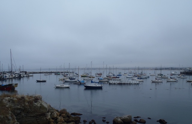
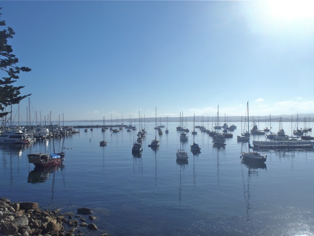
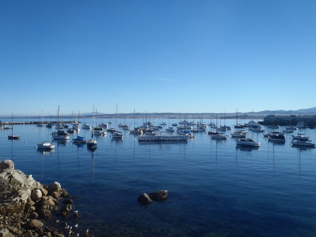
Monterey Bay isn’t really a bay — it’s a crescent-shaped indent along the central California coastline and there are no natural harbors. The bay’s harbors — Santa Cruz, Moss Landing and Monterey — have all been constructed, configured and re-configured by human efforts. That makes each of them unique places to live, work and play.
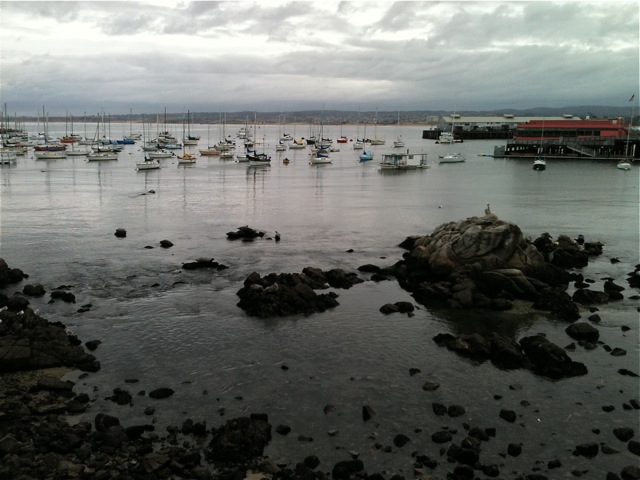
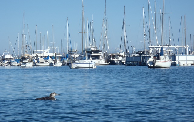
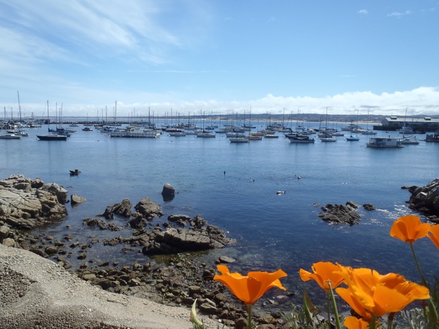
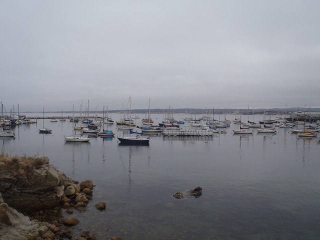
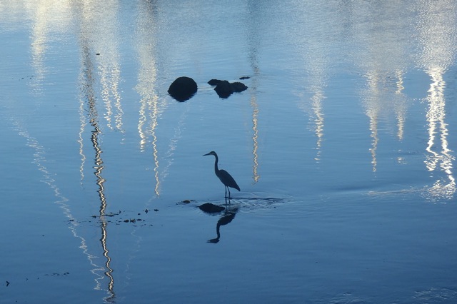
Along Monterey Harbor (and other sections of the bay) is the Monterey Bay Coastal Recreational Trail (for bicyclists and pedestrians). The “rec trail,” as locals call it, offers great access to the water and varied views of the bay. Sea otters, harbor seals, gulls and shorebirds are ever present. I walk the trail regularly and in 2013 took photos each time I passed the northwest side of the Monterey Harbor (between the Coast Guard Pier and Fisherman’s Wharf #1). Here are 12 months of nearly never-changing harbor views.
January
You’re sure to notice our summer fog, but you won’t see many stormy skies. Unfortunately, California is headed for the driest year on record. Monterey’s usual rainfall averages about 16 inches (41 cm) annually. This year we’ve had 3.8 inches (9.6 cm). We’ve already had an unusual December fire in Big Sur and are concerned about what the new year will bring.
February

March

April

May
June Sunshine
June Gloom
July

August
September

October
November Sunset
December
